
Via Grischuna 2022
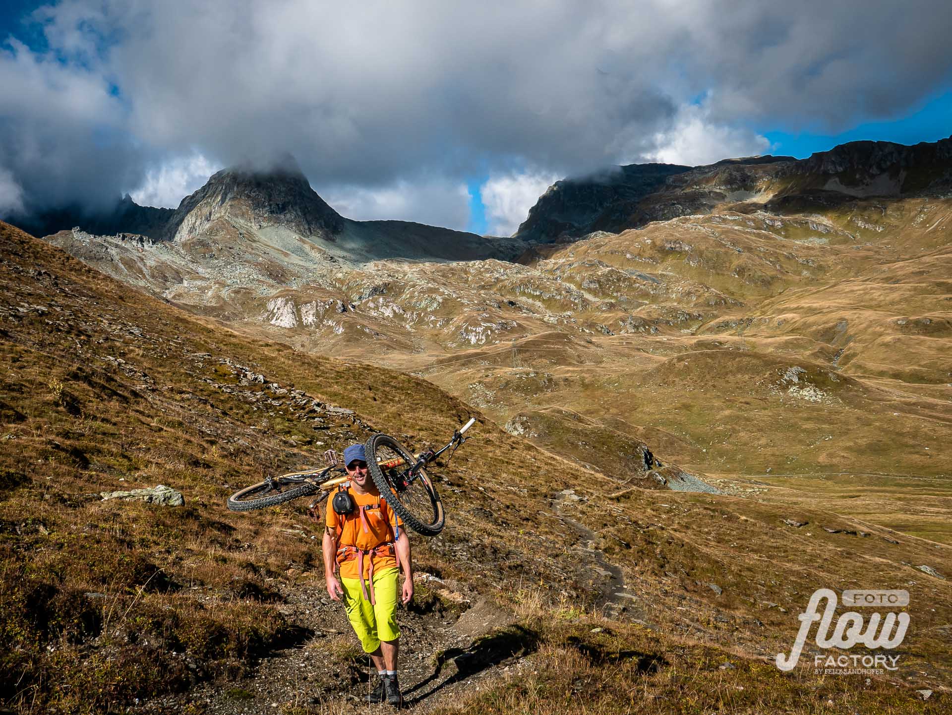
6 amazing days on high alpine trails – Bikebergsteigen at its best.
The newly established Via Grischuna, initiated by Dan Patitucci, is a 7-day trail running route from Klosters to St. Moritz, passing some of the most stunning landscapes Graubünden has to offer.
Due to time shortness, I decided to start with stage 2 from Dürrboden. On the last day on the trail, I spontaneously changed plans to end in Pontresina after an extra loop to Diavolezza instead of continuing to St. Moritz.
Trails for Trailrunners should work with the bike – the assumption
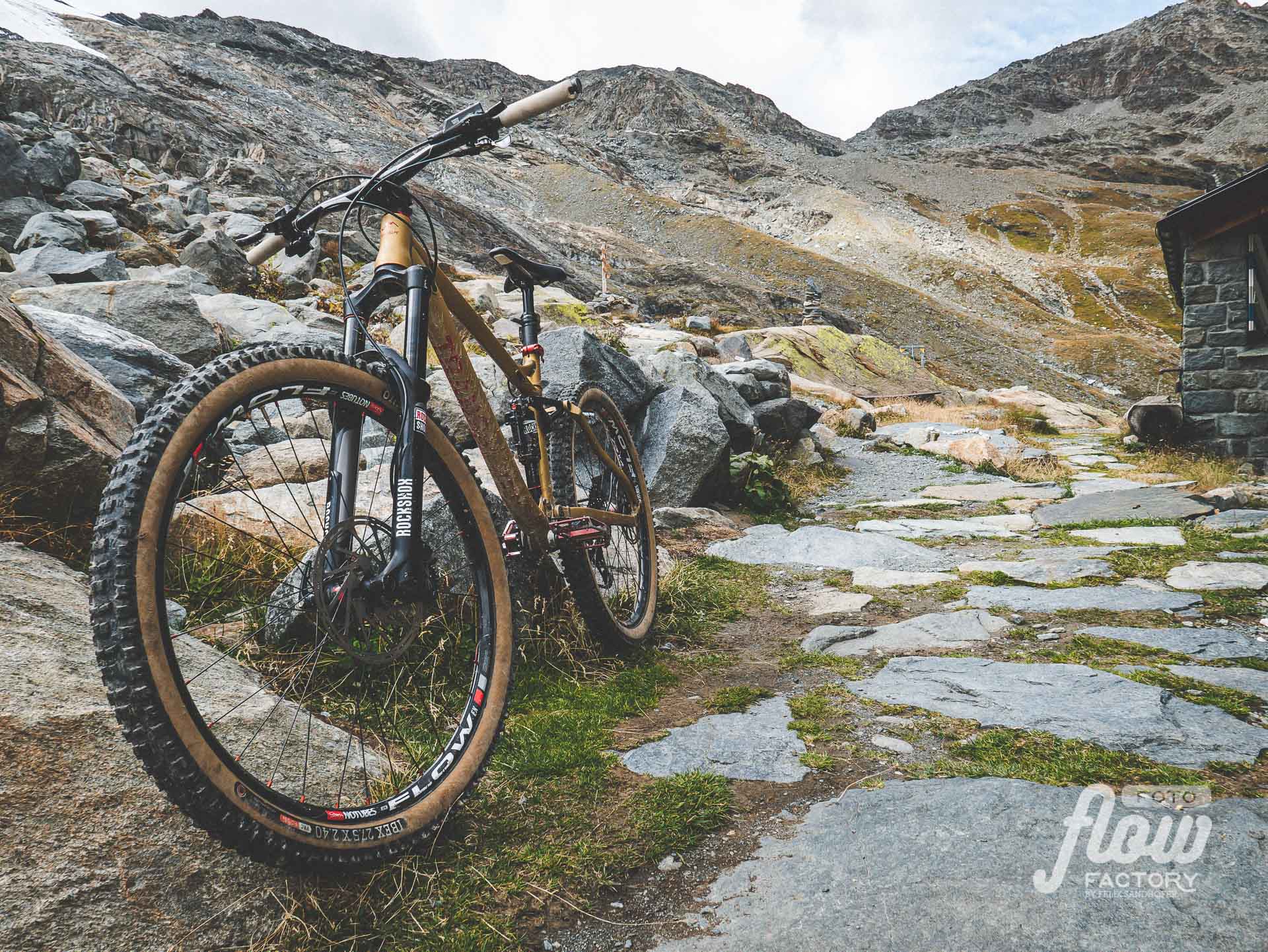
Dan connected an amazing collection of outstanding trails. For trail runners must it be to almost run on heaven…for me it was pure flow in the descent sections. In certain parts where I could ride on a road, I adjusted to reduce the hiking. Hiking with a 13.5kg bike on top of your backpack makes it intense but every step is worth it.
6 days out in beautiful nature to hit challenging trails, meet interesting people and reflect on personal growth.
Navigation:
Preparation & Packing
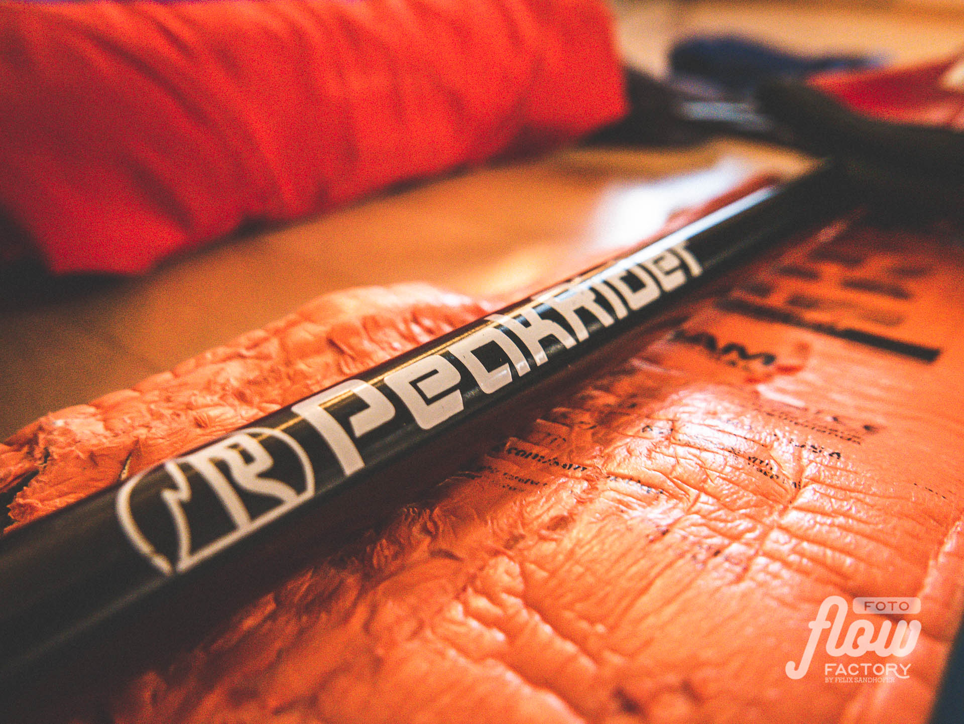
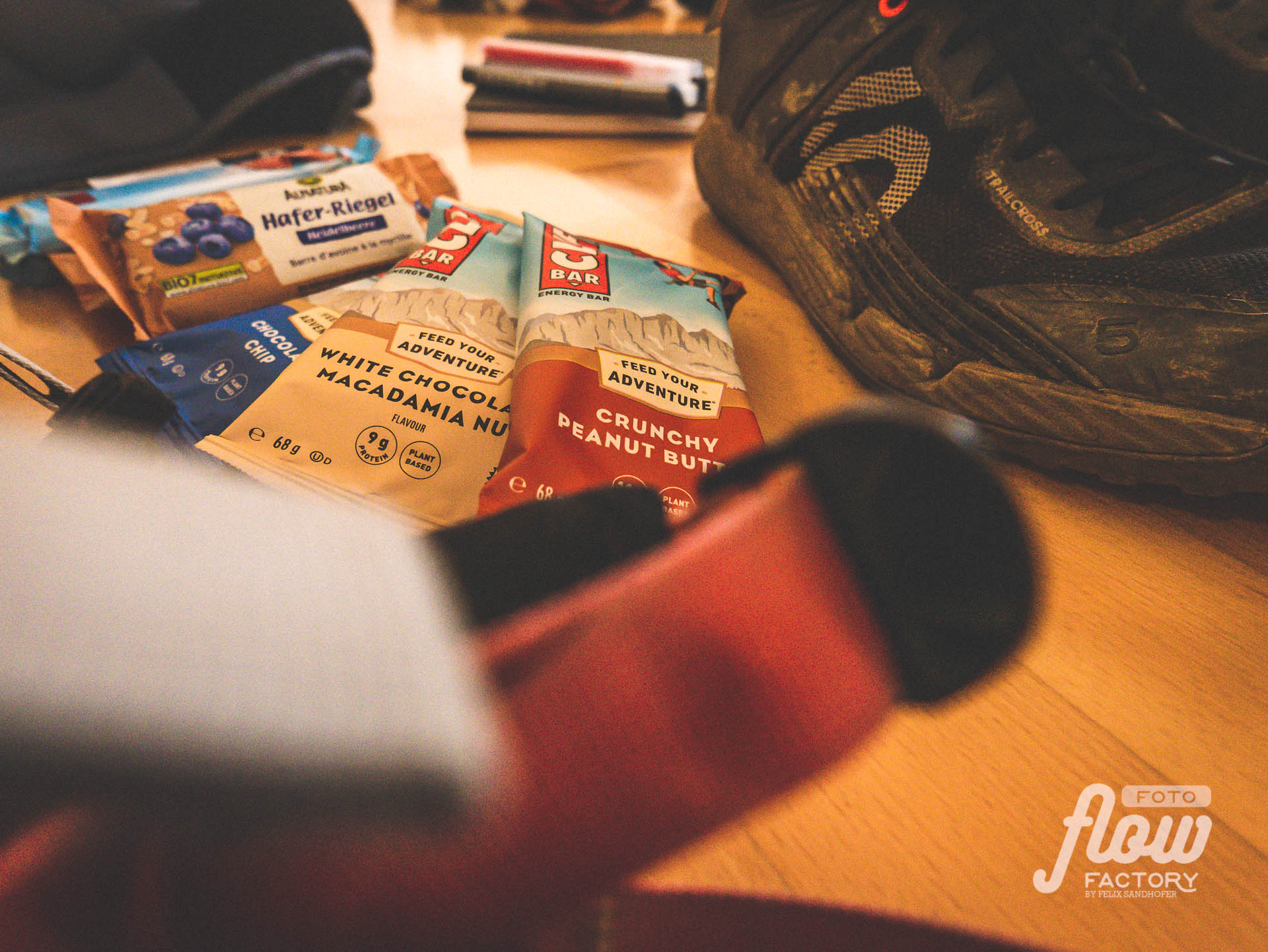
Six days in a row out in a high alpine environment needs serious preparation. The equipment should be reduced as much as possible because of its weight while still keeping safety as high as possible. While trail runners can go on ultra-light clothes, Bikebergsteiger are doing good to have an eye on durable clothes because some of the stuff is more stressed with dirt, pressure, and weight, especially in bad weather conditions rather than during trail running. I went back to the stuff I already owned and was used to. So, my backpack was for sure heavier, than it could have been, but therefore I didn’t have to invest a lot of money into new unproved equipment.
Most of the stages of Via Grischuna end in villages where you overnight in hotels or guesthouses. This allows leaving some stuff at home and gives the opportunity to buy food almost every day.
What to pack – packlist
At the Via Grischuna-Website you’ll find a lot of information about preparation, packlists (for trial runners) and tipps. I mostly orientated me on their recommendations and adjusted it to my personal needs and experiences.

Stages – Overview
The original Via Grischuna-Route is described detailed on the Alpsinsight website. There you also find all the GPS-tracks of each stage and a lot more information.
The inventors of the Via Grischuna has chosen trails very carefully to the trail runners needs…a great compliment to Janine and Dan Patitucci…well done!
In the following, you find an overview of my 6 stages from Davos Dürrboden to Pontresina. Because of doing it by bike, there were some adjustments to the original route needed.
Stage 1
Davos Dürrboden to Bergün
31km |
↑ 1’499m ↓ 2’141m |
Stage 2
Bergün to Spinas (Val Bever)*
20km |
↑ 1’282m ↓ 831m |
*) route modified for better uphill riding.
Stage 3
Spinas (Val Bever) to Bivio
28km |
↑ 1’709m ↓ 1’753m |
Stage 4
Bivio to Sils*
22km |
↑ 1’384m ↓ 1’343m |
*) including Piz Lunghin with downhill from (almost) the summit –
!!!only for very experienced riders – it’s very exposed, steep!!!
Stage 5
Sils to Pontresina, via Capanna Coaz
33km |
↑ 1’484m ↓ 1’509m |
*) route modified for better uphill riding and extended for more trail rinding
Stage 6
Pontresina to Pontresina (instead of St. Moritz)*
25km |
↑ 1’1415m ↓ 1’425m |
*) route modified to avoid a highly frequented trail (Höhenweg to Segantini hut) > Plaun da l’Esen – Fuorcola Pischa – Bernina Suot – Pontresina
6 days. 160 km. 8’800 hm.
Warning
The route is considered for trail running. Most of the trails are in the grade T2/T3 but several of them are fairly exposed. Translated to the bike scale means most of the used trails include quite a lot of S3 sections in descents. You also should be able to handle S4 sections safely. If you don’t, plan to use a different route…it won’t be fun, when you also have to walk down.
Flow Factory are not responsible for injury or loss of any kind. Anyone undertaking these routes is solely responsible for their own safety.
Impressions
Day 1
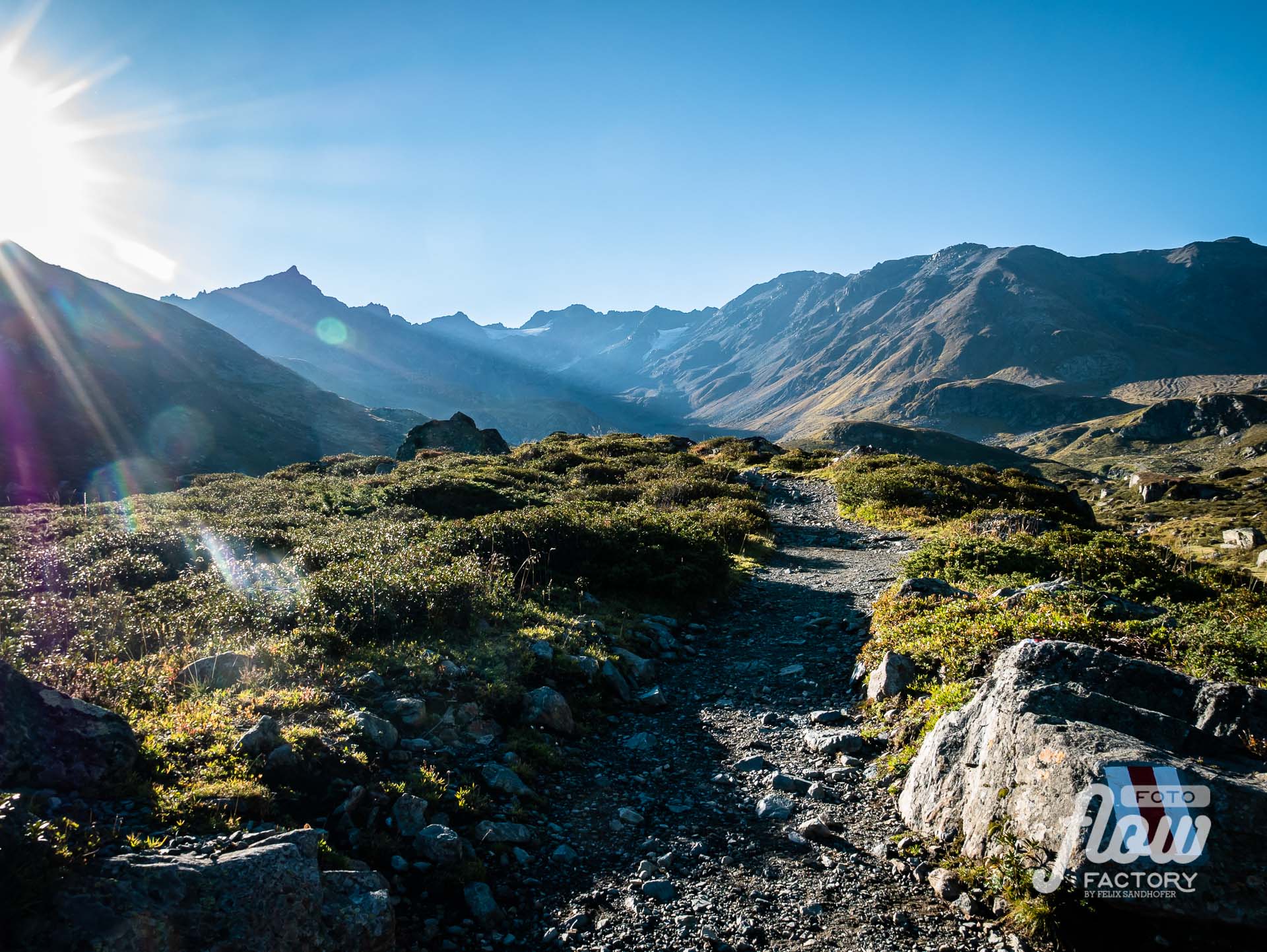
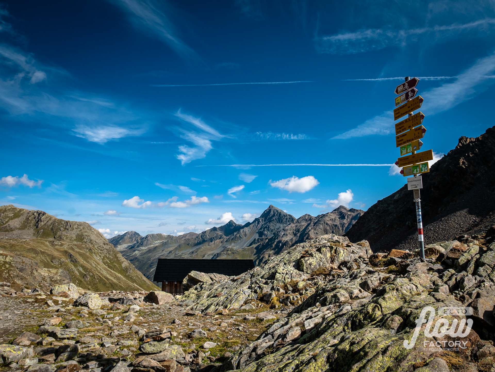
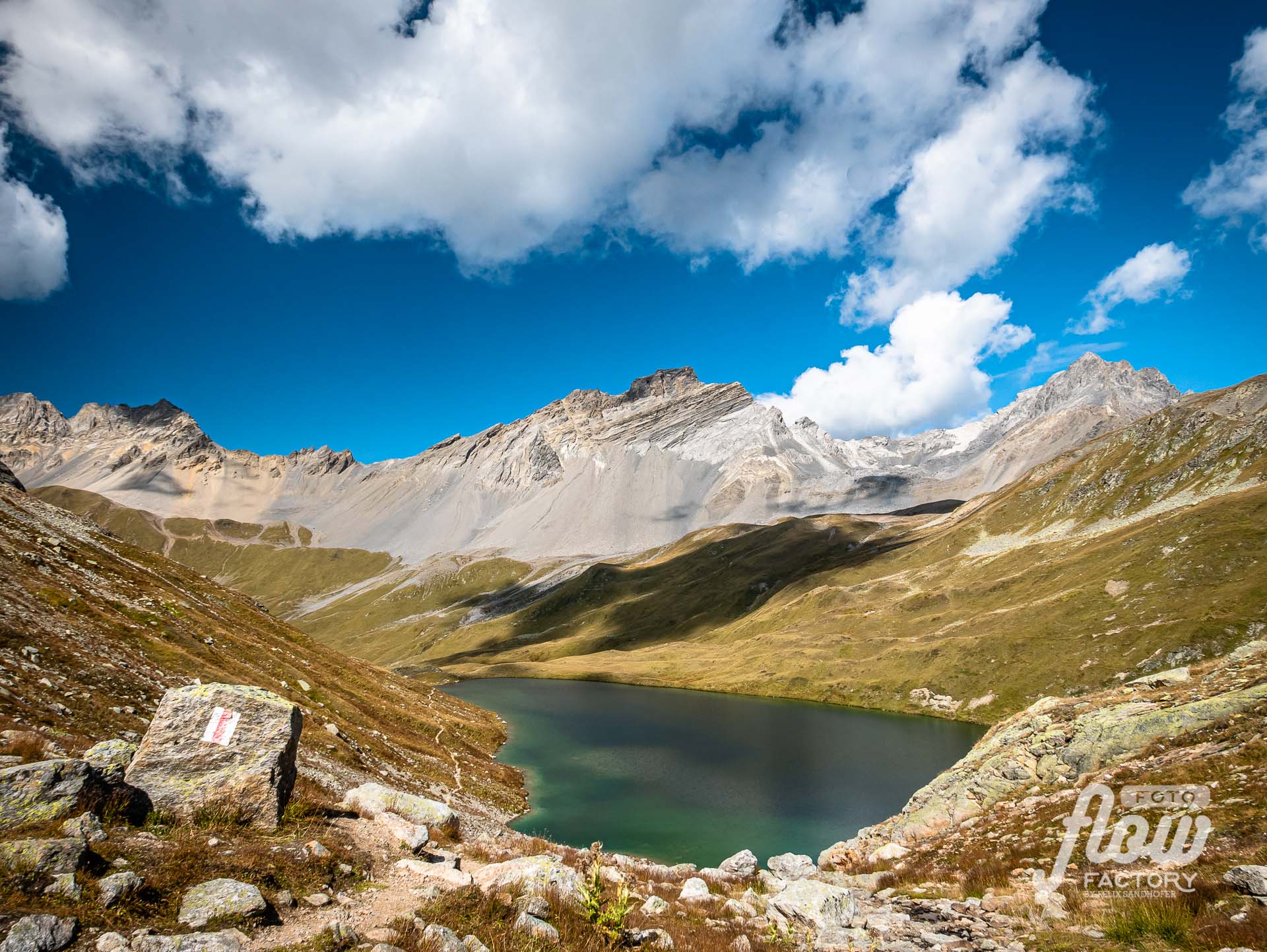
Davos Dürrboden – Scalettapass 2’605m – Bergün

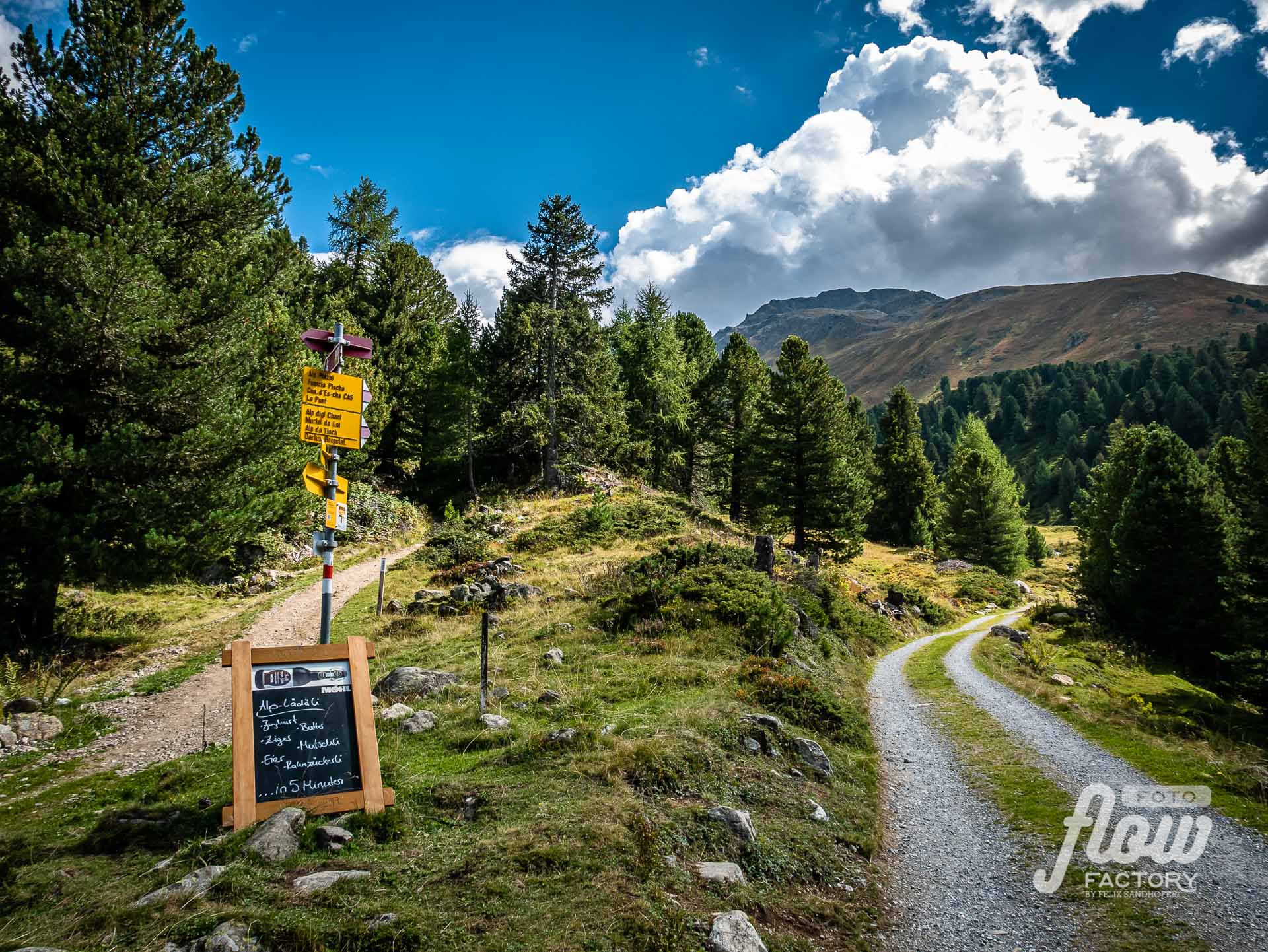
Food:
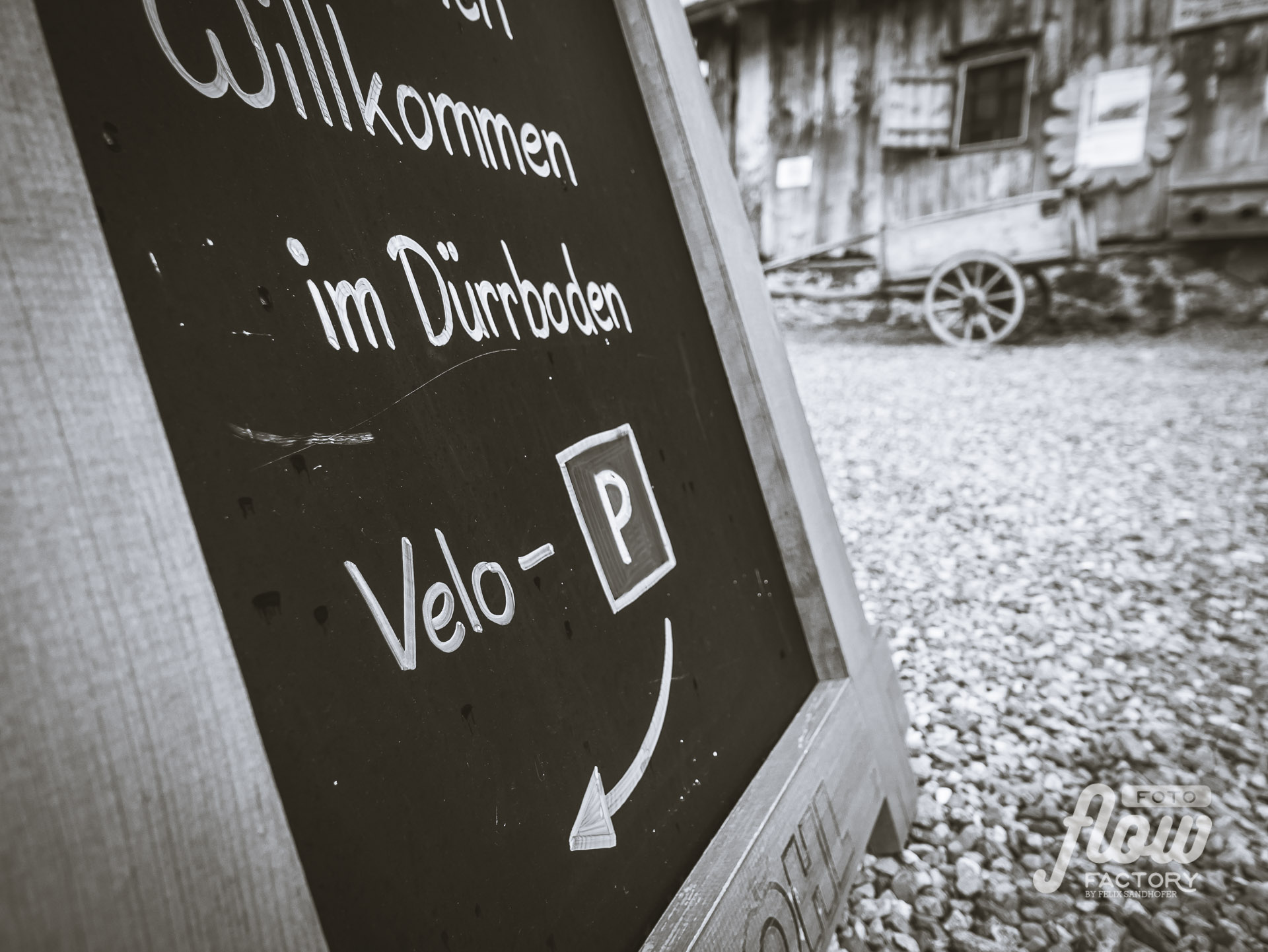
Kaffee Klatsch, Davos A perfect place for a short rest while having a delicious cake and a coffee before moving on to Dürrboden, where you stay the first night. > WebsiteKurhaus Bergün, Bergün After a long ride through amazing landscapes, sit down and enjoy a tasty cake or locally made gelati in the hotel park. > Website
Accomodation:
Gasthaus Dürrboden, Dischmatal A nice warm-up ride along the Dischmatal, leaving all your daily thoughts way behind. It’s a calm place run by two passionate brothers with a great eye for details. They serve great dishes with local ingredients. There are different ways for staying overnight. > WebsiteKurhaus Bergün, Bergün I booked the mansard, and by arrival, I received an upgrade to a double room – a great gift – many thanks! The hotel keeps its Jugendstil spirit, the furniture is still from this epoch. It feels like time was turned back. The restaurant serves local dishes in a very nice ambiance in these old dining rooms. The breakfast buffet in the entrance hall was just mind-blowing, almost like in a five-star hotel. > Website
Day 2
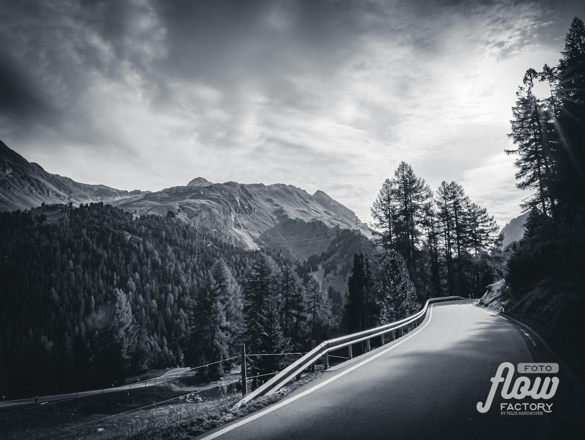
Bergün – Fuorcla Crap Alv 2466m – Spinas (Val Bever)


Accomodation:
Gasthaus Spinas, Val Bever
When the crowd leaves, it gets calmer. The 16 rooms are very nice and cosy. The dinner was very delicious. It’s a very nice atmosphere. Even though it was my first stay I felt like a regular guest.
Day 3
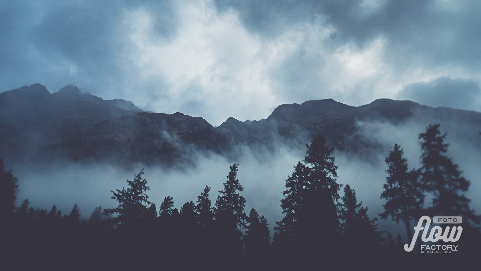
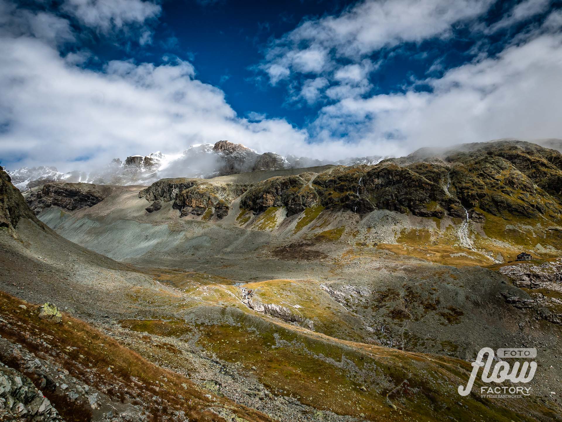
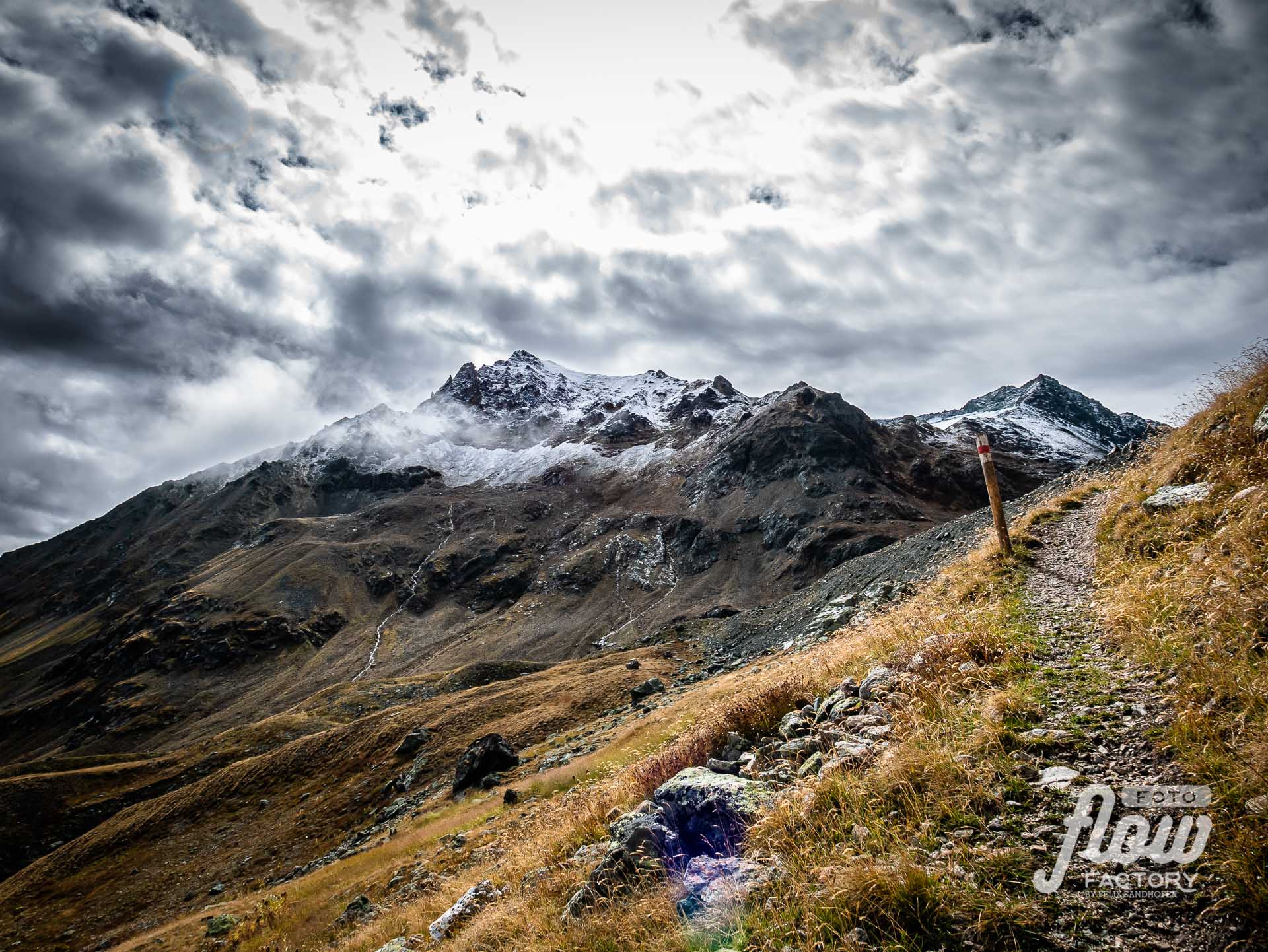
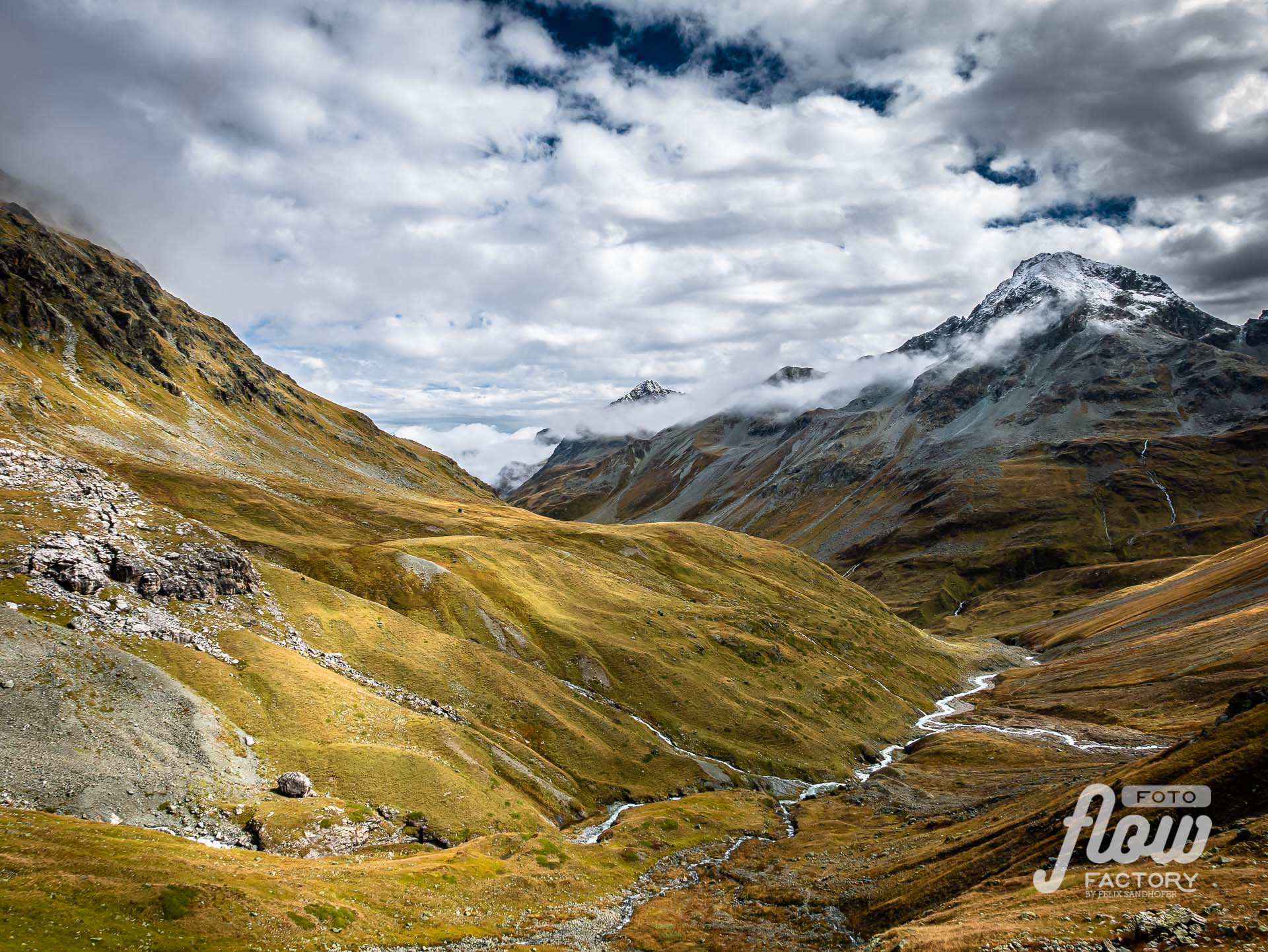
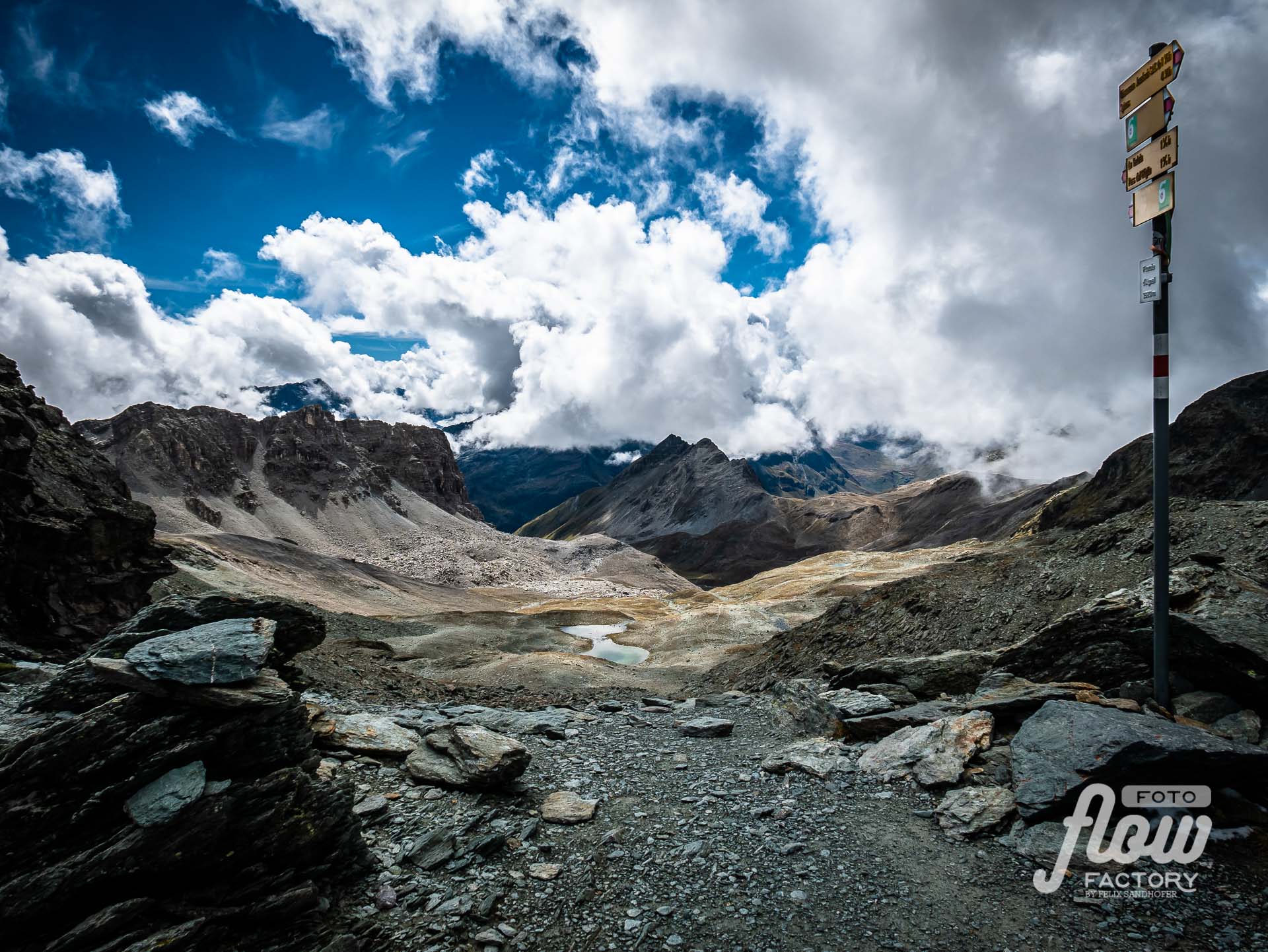
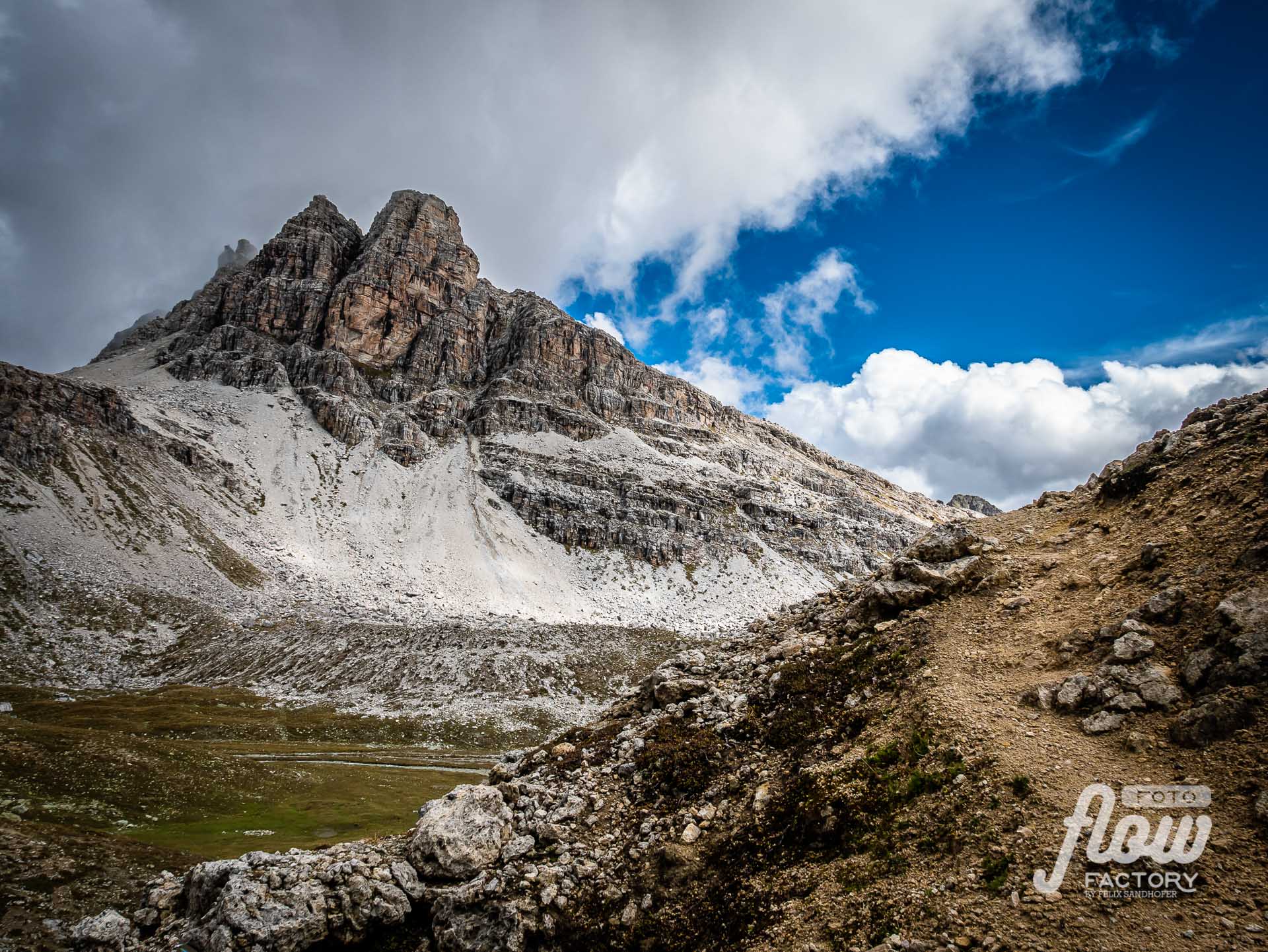
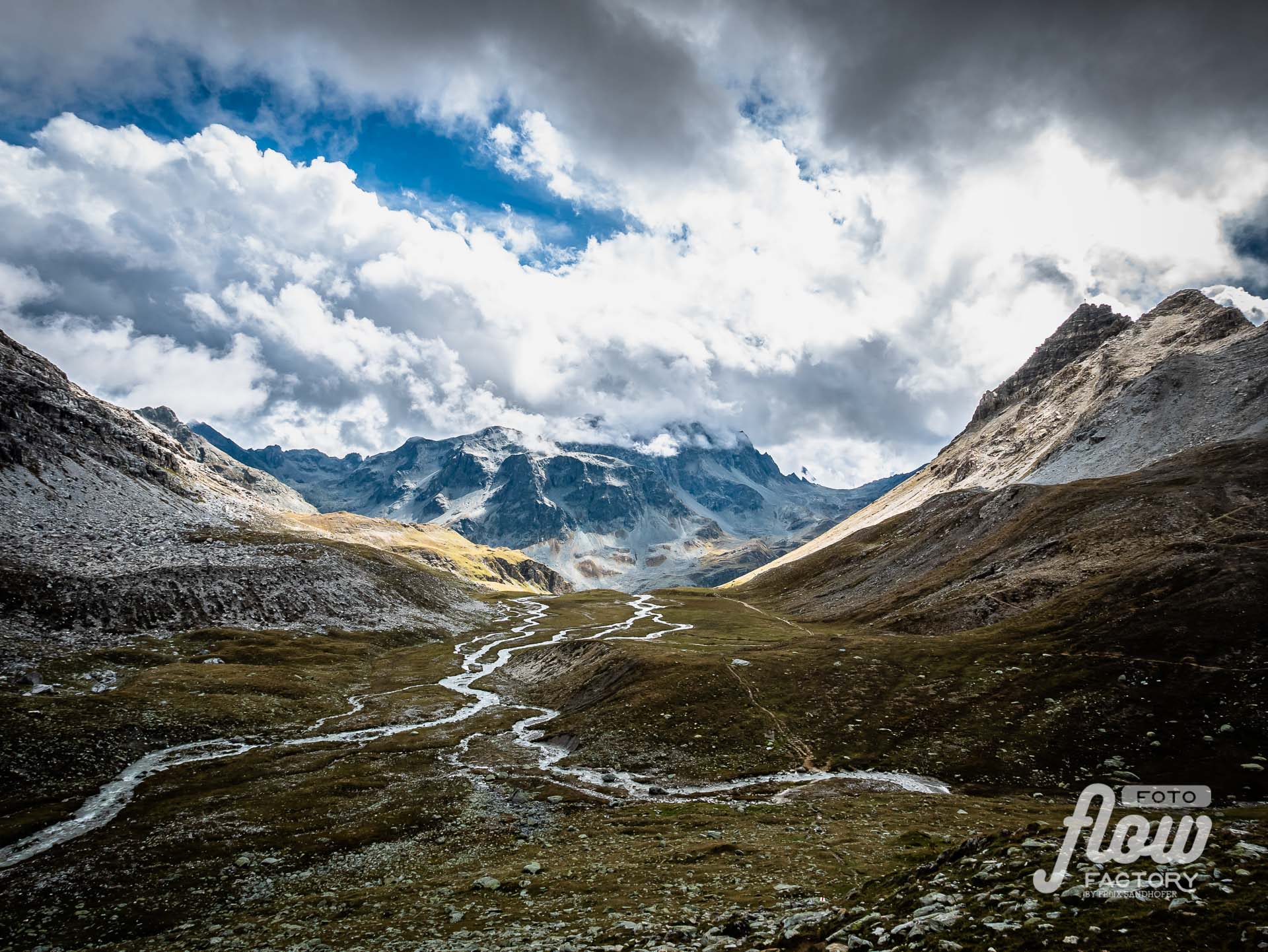
Spinas (Val Bever) – Fuorcla d’Angel 2’982m – Fuorcla digl Leget 2’709m – Bivio




Food:
Chamanna Jenatsch SAC It was puring rain, when I left Spinas. My motivation to keep going was the homemade cake at the Jenatsch hut. Completely soaked I arrived at the hut and had an amazing cake and a coffee. While I warmed up, the rain stopped and the sun came out. What a wonderful place with lovely people! > WebsiteAlp Natons, Bivio A family-run alp where she serves marvelous cakes. Baked in a wooden oven. After explaining all the challenges with this baking method, I appreciated the cakes even more. I couldn’t decide which of the four cakes I should take, so she offered me to put two on a plate 🙂
Accomodation:
Hotel Post, Bivio
It was a long exhausting day, many wet clothes in the backpack, so the offer to wash all my bike clothes was like reading my thoughts. After giving a wellness pack to my bike, and dropping my dirty clothes I enjoyed a shower myself. The dinner at the hotel, a 3-course meal, was good. Back in the room, all my freshly washed clothes were nicely placed in the room, what a nice surprise.
> Website
Day 4
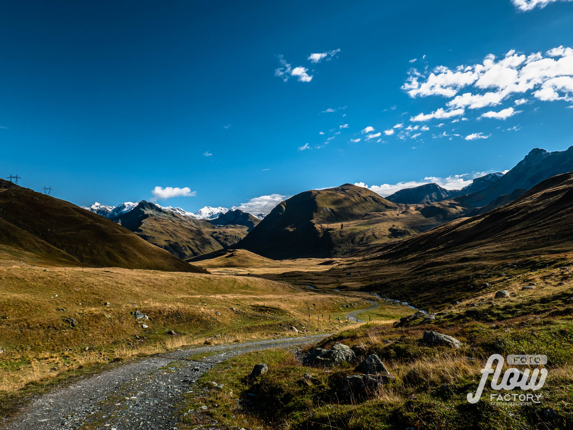
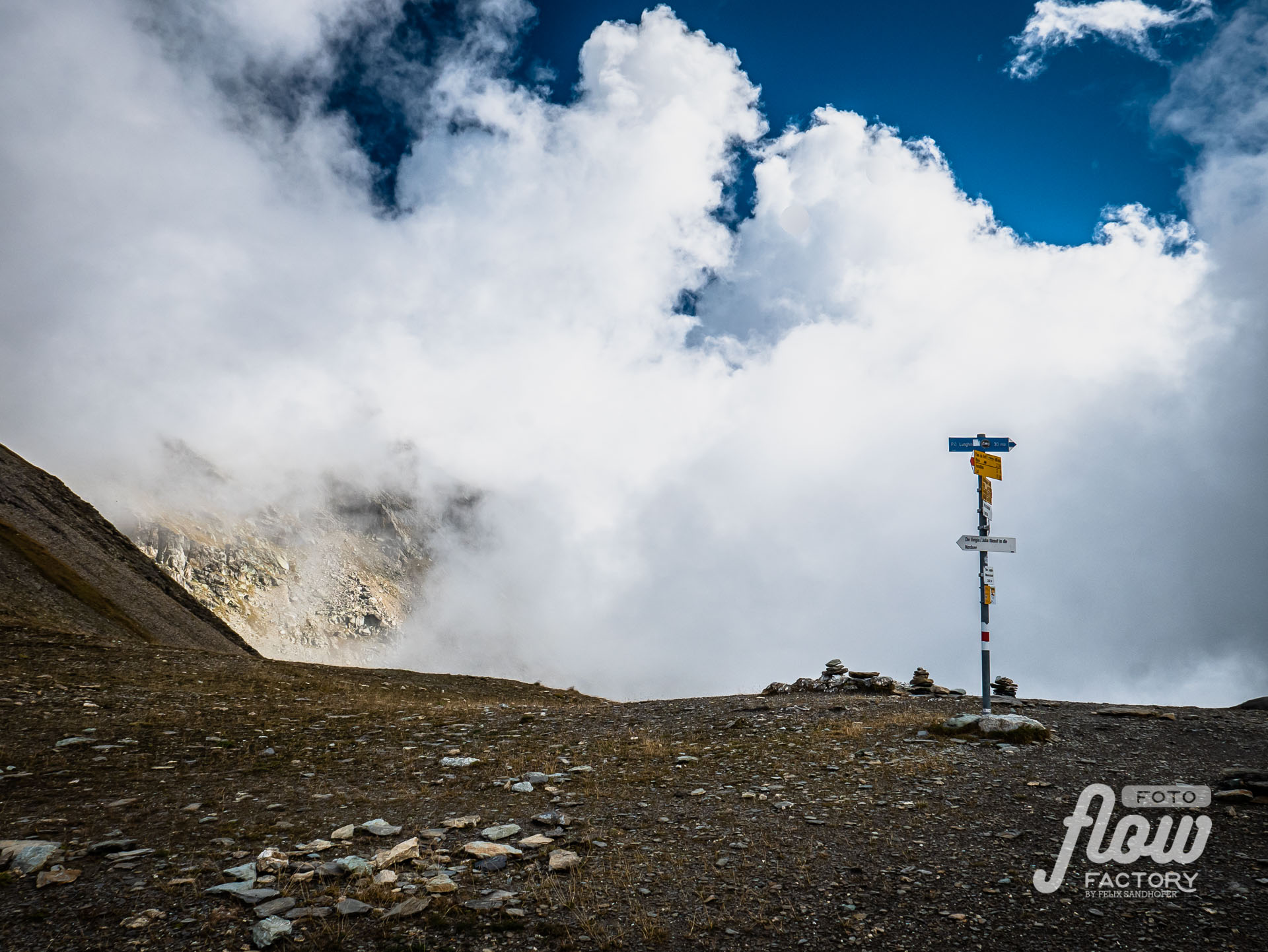
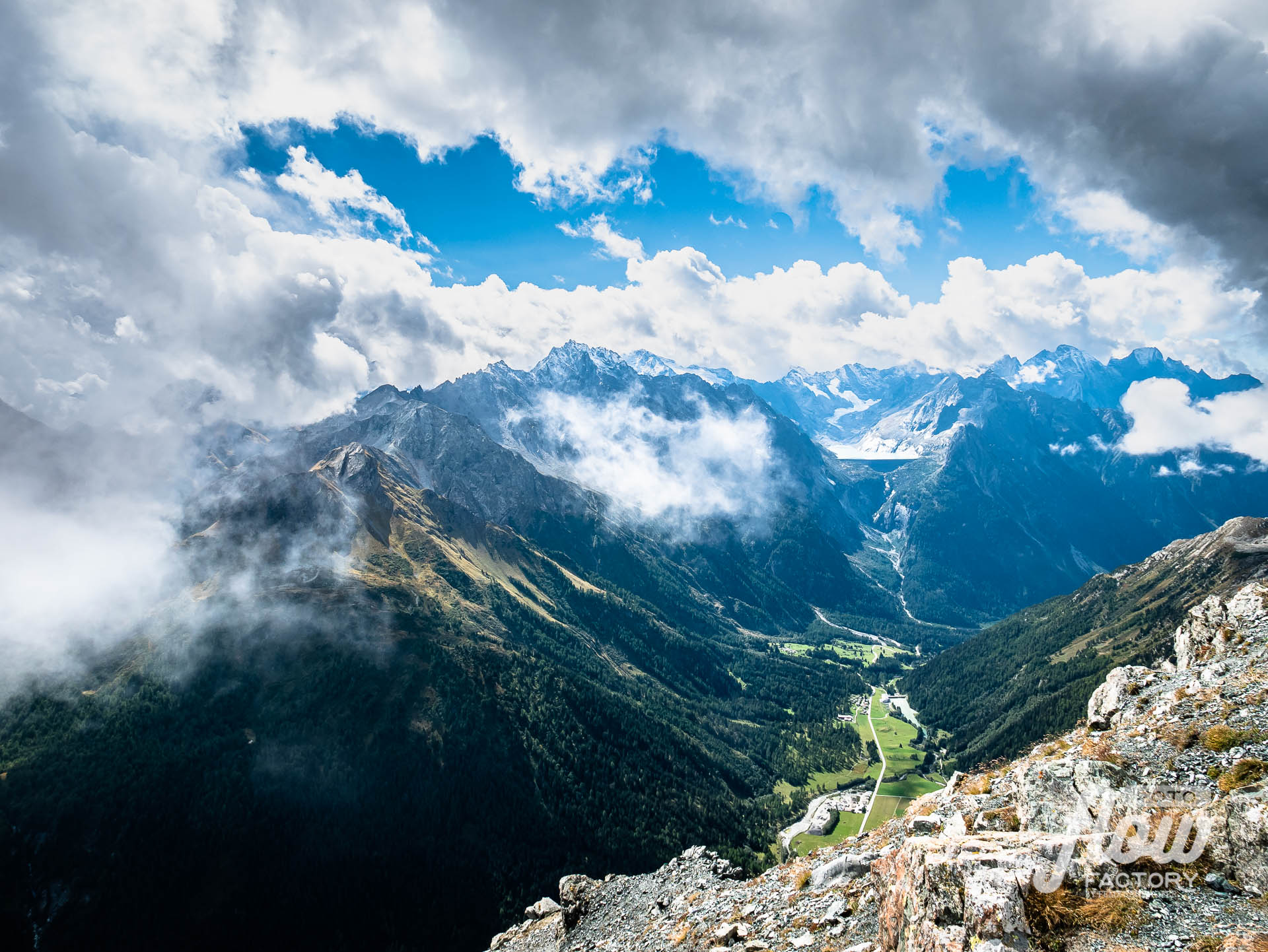
Bivio – Septimerpass – Piz Lunghin 2’779m – Sils


Accomodation:
Hotel Christallina, Plaun da Lei, Sils
It’s a basic hotel where most fishers are staying in. The restaurant beside is well known for its fresh fish dishes.
> Website
Day 5
Sils – Fuorcla Surlej – Chamanna Cuoz CAS – Val Roseg – Pontresina




Food:
Chamanna Coaz SAC
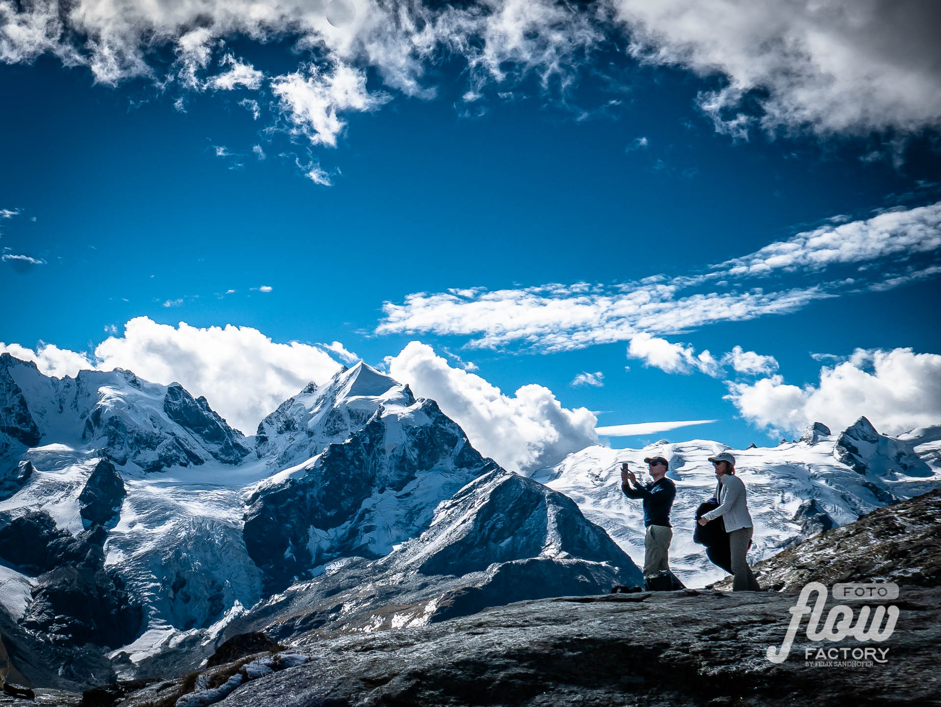
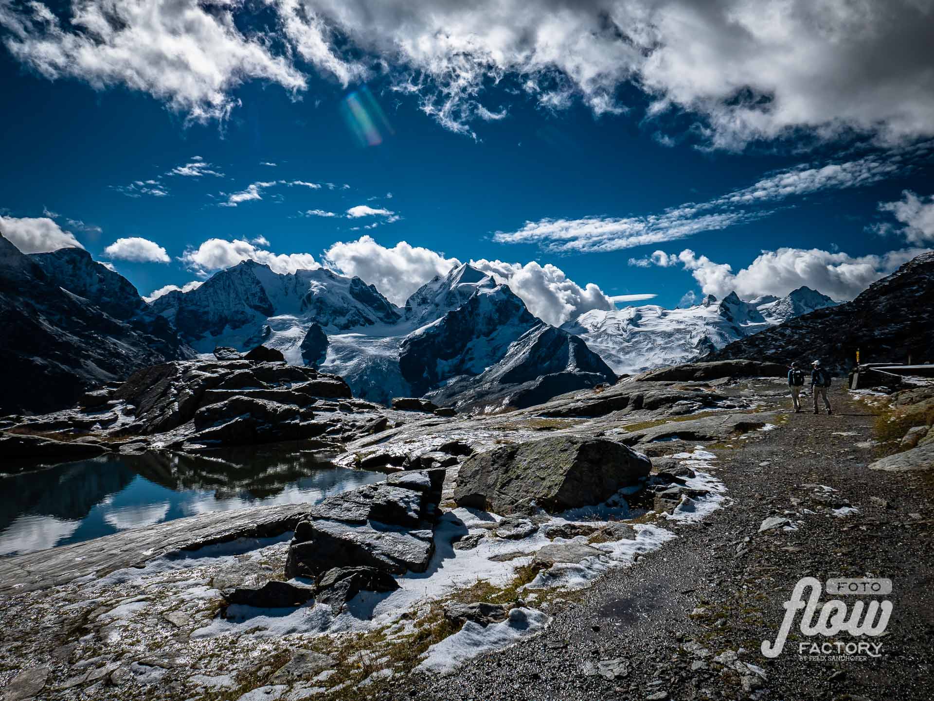
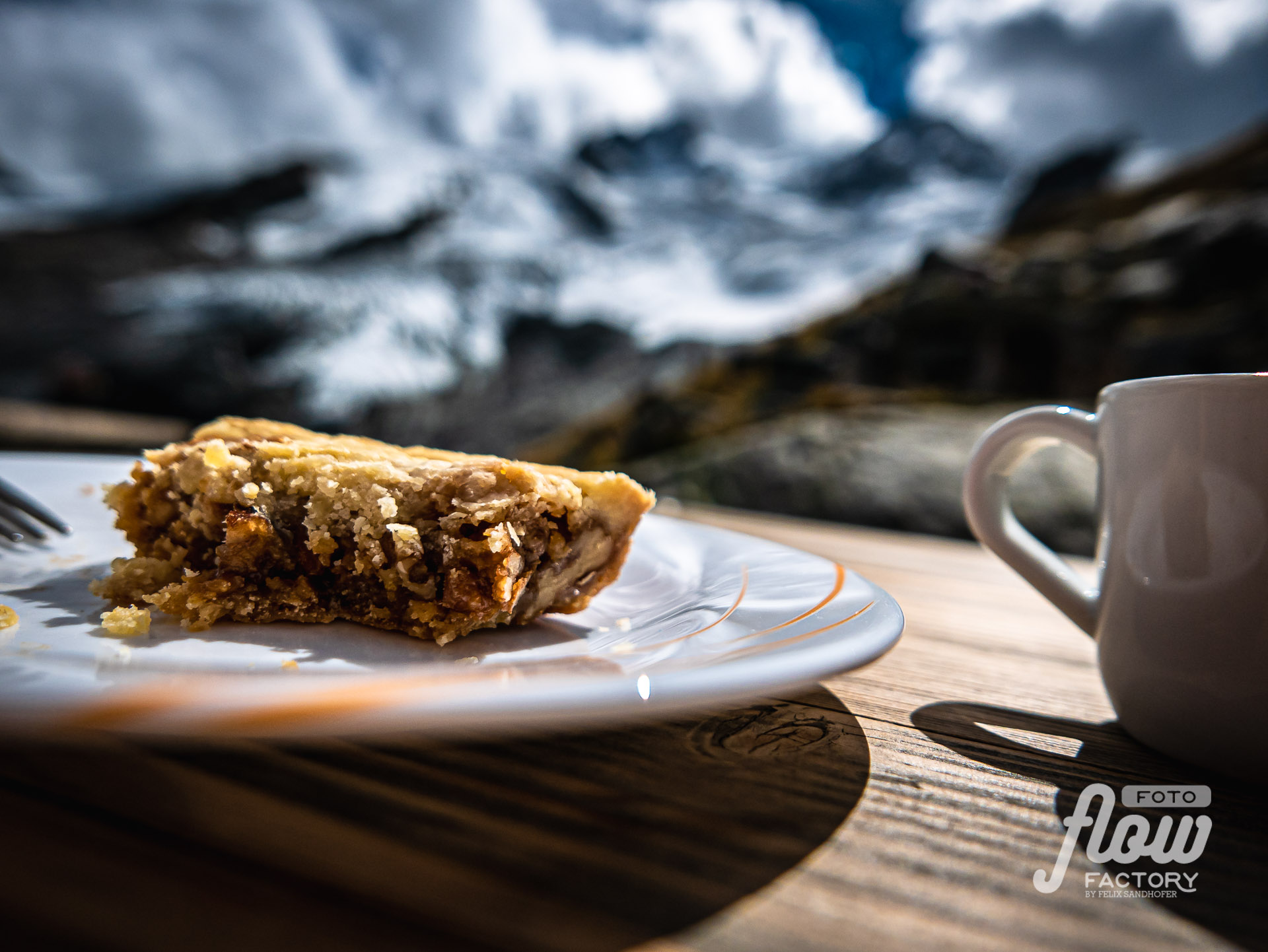
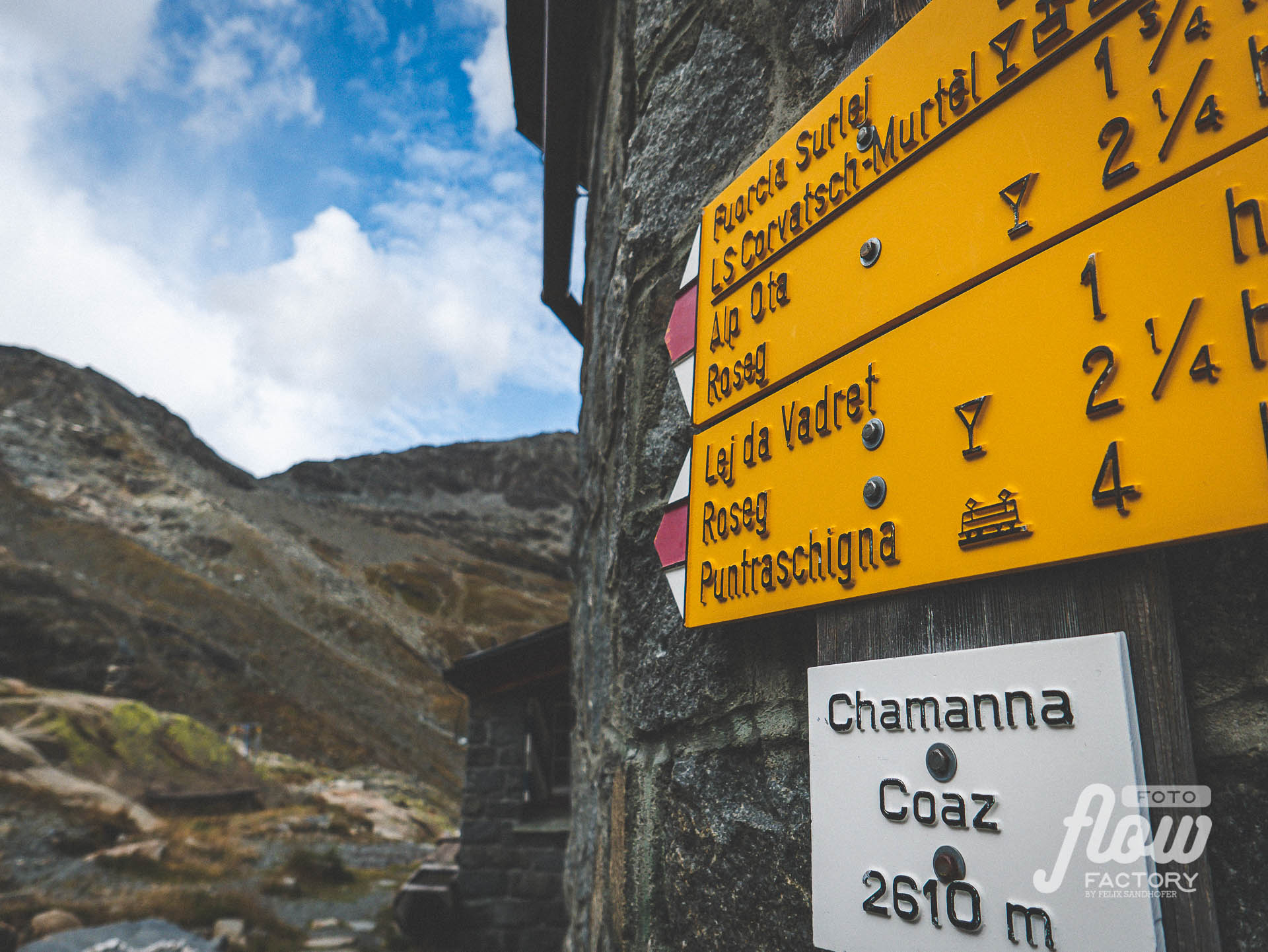
It’s quite a way to the nicely located hut at the end of the Rossegg valley close to the glaciers. It’s a stunning view of this high alpine environment. And the typical Bunder Nusstorte, which is homemade by the chef himself is a blast! It gave me the energy for the intense highly technical downhill toward the valley bottom.
> Website
Accomodation:
Youthhostel Pontresina, Pontresina
I stayed in the Youth hostel, booked a bed in a 6-bed dorm, and finally, I had my single dorm 😉 – thanks to the lovely people at the reception for this favor and the nice chat I had. It was the easiest way I decided to eat dinner at the hostel…it was a good choice. 🙂
> Website
Day 6
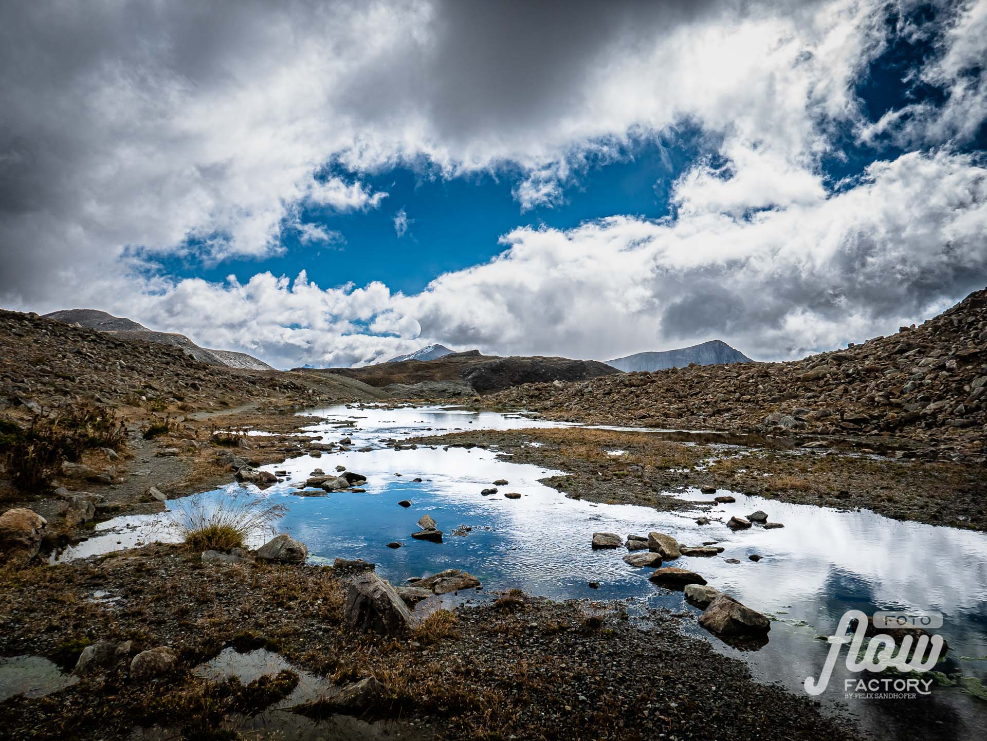
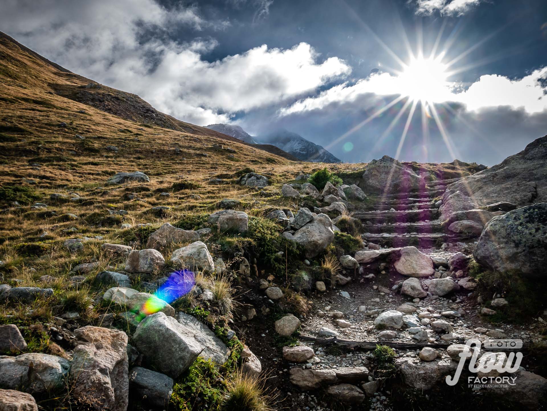
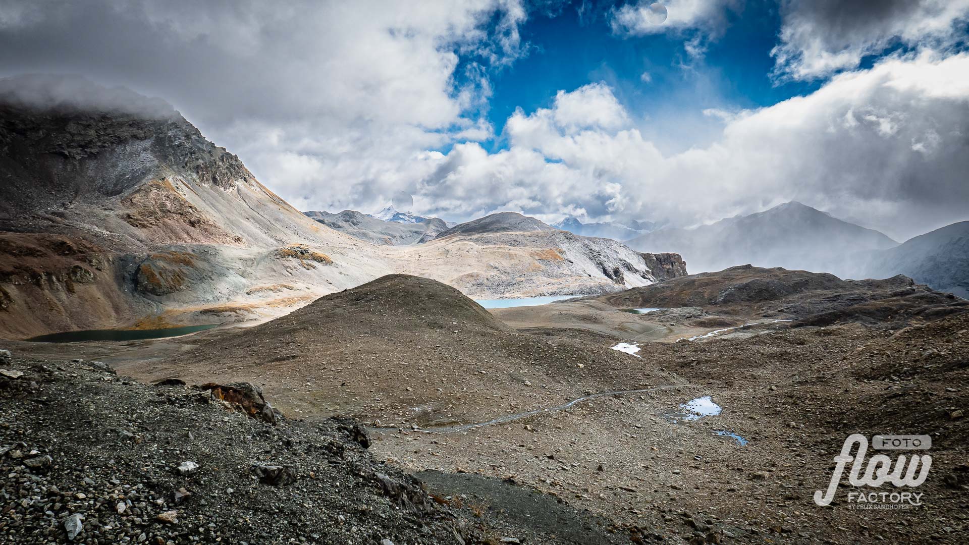
Pontresina – Alp Languard – Fuorcla Pischa – Bernina Diavolezza – Pontresina

Food:
Station, Pontresina
My final stop before I started my long journey back home, I “celebrated” my arrival with a tasty burger at Stazione in Pontresina. Also, the dessert was really nice.
> Website
Accomodation:
Tipps
Drinking water: there are plenty of options to refill your bottle on the way – do not carry to much. Because you stay in villages over night you don’t need to bring a waterfilter, like the “be free” from Katadyn with you.
Lunch: there is almost every day the possibility to buy some lunch for the previous day. So, you don’t have to carry a lot of extra food with you.
Accomodation:
Almost every night you stay in a village. That means you have different options to choose from. It depends on the season you doing the route it’s recommended to well book ahead.
Because staying in villages forces you to stay in hotels, which are normally higher than alpine huts, but with a higher level of luxury. 🙂
Navigation:
Trails are very well marked in Switzerland. Nevertheless a map (offline and printout) is essential and belongs even in the lightest backpack. Do not count on mobile access for navigation; better download the needed region to your mobile phone so that you can navigate in flight mode (saves battery too). I used the Swiss Map-App and the website – on both you can download for free a sector of 10x10km (1:25’000) …so I made sure that I was prepared for the day.
Mobile connection and electricity: only in Dürrboden you won’t have a mobile connection. In the rest of the route, you mostly have an internet connection in the evening to prepare for the next day. I carried a power bank with me but didn’t have to use it.
Exit scenarios: Even you stay all the time high there are every day opportunities to finish your route and go back to “civilization”, in case of bad weather, healthy concerns or what ever. In the most cases it takes a couple hours to get to an access point to public transport.
Flow Factory is not responsible for injury or loss of any kind. Anyone undertaking these routes is solely responsible for their own safety.